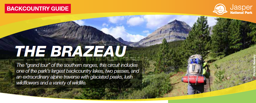
The cover for one of 15 online guides to backpacking trips and two wilderness canoe trips in Jasper National Park.
Winter is finally losing its grip on the Canadian Rockies. The first robins have made an appearance, not to mention the first grizzly bears. It won’t be long until we hear the sound of the first mosquitoes buzzing in our ears.
Even if you’re not looking forward to the mozzies, it is a good time of year for pulling out the guidebooks and maps to plan trips once summer arrives. And maybe reserve campsites before they’re all taken.
While we always promote the Canadian Rockies Trail Guide and Gem Trek maps for planning your backcountry trip, you should definitely check out the excellent backcountry guides on the Jasper National Park website.
There is no better Canadian National Park for backpacking than Jasper, and these multi-page guides are absolutely unmatched anywhere in North America.
Jasper: The backpacker’s park
While we’ve always recognized Jasper as the best backpacking area in Canada, despite its northern latitude, it is also the best mountain park for early-season outings. Several of the 15 backpacking trips can be completed as early as May or June, and I’ve marked them with an asterisk (*) in the following list. You can also add a couple lower elevation campgrounds on longer trails (Lower Fryatt CG on Fryatt Valley and Whirlpool CG on Athabasca Pass), which are attractive early-season destinations.
Two- to three-day Jasper backpacking trips
Big Bend *
Celestine Lake *
Fryatt Valley
Geraldine Lakes
Jacques Lake *
Maligne Pass
Saturday Night Loop *
Skyline
Tonquin Valley
Four-day Jasper backpacking trips
Brazeau Loop
Poboktan-Jonas Pass
Fiddle River
Seven- to ten-day Jasper backpacking trips
Athabasca Pass
North Boundary
South Boundary
UTM coordinates for Jasper campgrounds

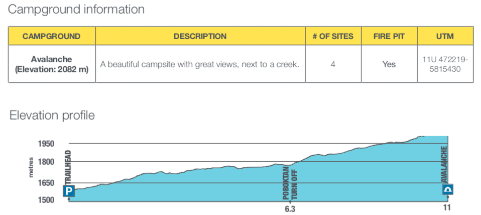
A number of graphics are used to illustrate “Trails and trips” guides, like “Campground information” (with UTM coordinates) and “Elevation guide”. Distance graphs, similar to what you find on highway maps, are also included.
Some of the trails in the “seven to ten day” category, are not well maintained and sections are often obscured by deadfall and wildfire overgrowth. That’s where accurate UTM (Universal Transverse Mercator) references for backcountry campgrounds are invaluable.
Unlike some UTM coordinates for campgrounds in other national parks, Jasper’s seem to be spot on, which is really essential when you’ve lost the trail and are trying to find your way with a GPS unit. (I prefer latitude and longitude readings when I’m working with GPS, and I use the “UTM to Latitude & Longitude Converter” on The Engineering ToolBox website.)
While the Canadian Rockies Trail Guide provides a good general overview of these routes and detailed distance outlines, the suggested itineraries in Jasper’s “Trails & Trips” are often not exactly the same.
But if you want the best up-to-date information, GPS references for backcountry campsites, excellent graphics (including overview maps on longer trips), and Parks Canada’s latest requirements and recommendations, you should definitely download the online pdf files from the Trails & trips “Suggested Itineraries” page on the Jasper National Park website.

0 Comments