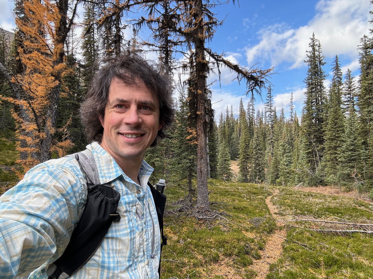
Dan Durston near the summit of Kootenay Park’s Ottertail Pass.
Kootenay Park’s Ottertail Pass trail is a route frequently ignored by backpackers bound for the Rockwall. Because the pass is wooded and of little scenic interest, we barely mentioned the trail in early editions of our trail guide.
Back in January, we received a note on our Hiking Kootenay Park 50 Years Ago blog from reader Sam Kerr asking about the trail. He noted that hikers had difficulty finding it from the Yoho Park side, but thought it might be more accessible from the Helmet/Ochre trail in Kootenay Park.
We tried to find information about the trail for Sam, but only discovered it was seldom travelled and mainly by Park Wardens on patrol (when wardens were still patrolling the backcountry). However, Kootenay Park obviously thought it a worthy route and established a campground with a deluxe bear hang cable just west of the pass, probably in the late 1970s or 1980s.
Fast-forward to this month, when Dan Durston and friend set off to discover the remains of the trail on a hike between the Paint Pots trailhead in Kootenay Park and the Trans Canada Highway near the mouth of the Ottertail River in Yoho Park. An ambitious endeavour indeed, made all the more impressive since they hiked the entire 40-km trail in a 12-hour day.
There still isn’t much scenic reward for hiking this old trail. The trail is unmaintained, quite vague in sections, and the route is reserved for experienced, backcountry hikers. The Ottertail Pass campground is decommissioned, so if you’re determined to explore it, you’ll have to do so from Kootenay’s Helmet-Ochre campsite or the McArthur Creek campsite in Yoho. Or else do it in a day like Dan and his buddy.
But as you will discover in Dan’s account, it is surprising how much of the trail still remains:
Ottertail Pass trail
by Dan Durston
Myself and a friend hiked Ottertail Pass this past weekend all the way from Paint Pots to the Ottertail Fire Road.
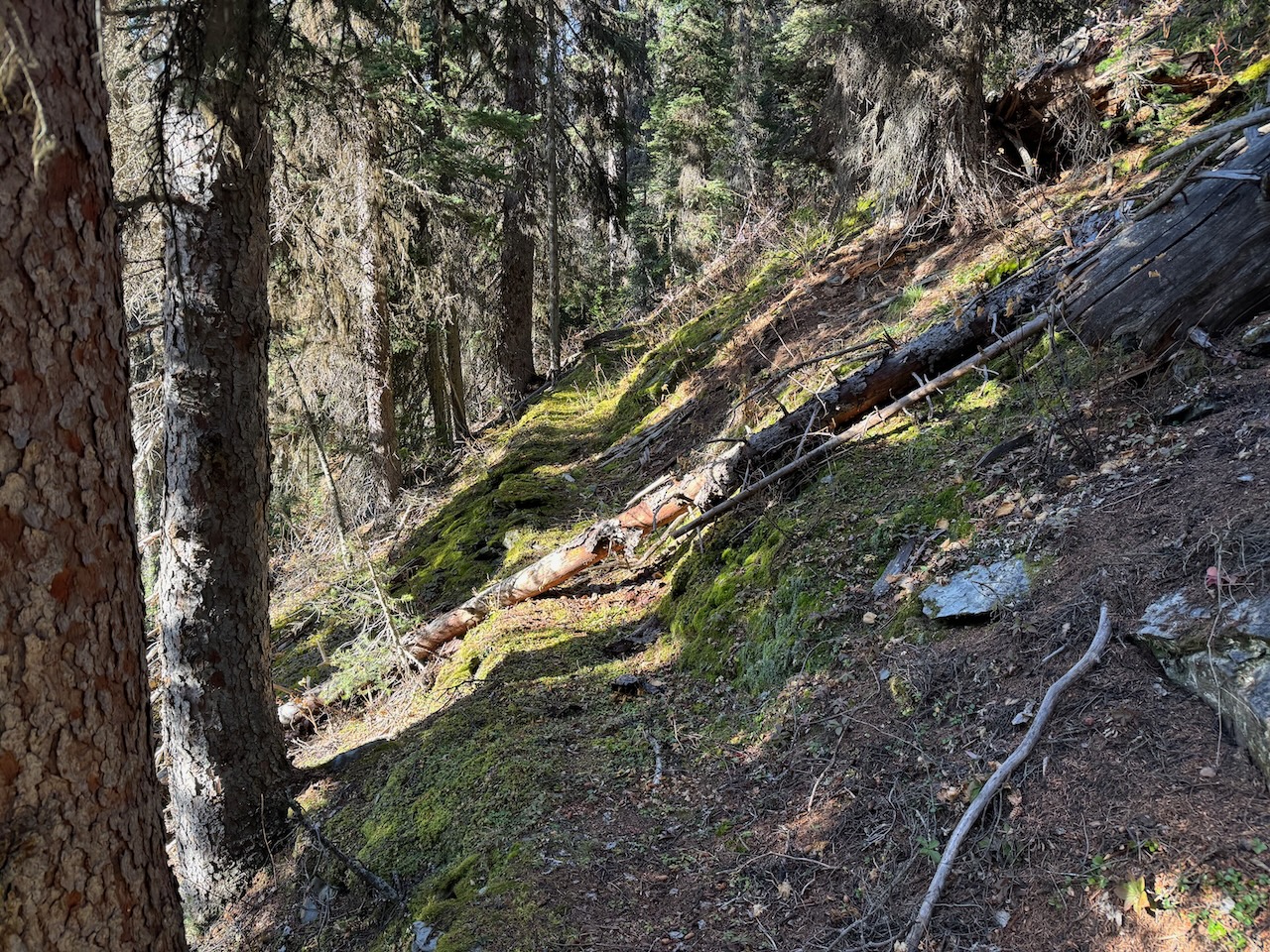
Obviously the first 6 km to the Helmet/Ochre campground is good. From the campground, the trail to the bear lockers is the old Ottertail Pass trail, so go past the bear lockers and you’ll see trail continuing. It’s still fairly obvious up to the pass.
There are a few vague spots where we had to hunt around for a minute and ample deadfall (lots but not ridiculous) but the trail is relatively good and the brush isn’t that bad. There has not been major deadfall clearing in a long time, but there is sign of smaller logs/branches being cut by hand in the last 5 years.
As soon as you are on top of the main climb, the trail improves and is quite pleasant with good views. We were able to follow the trail while doing 2.5-3.5 km/hr and were up at the meadows in 2 hours from the campground. The trail was GPS’d which can be viewed and downloaded here: http://caltopo.com/m/0NLCV
Across the meadows the trail is hard to follow but it is open fast walking and we did mostly follow the trail. We came across the old campground with a sign, collapsed outhouse and bear hang with cables (which actually looked useable).
The meadows are quite beautiful and I can actually recommend this hike up to the pass to someone looking for a challenge. I would like to see parks reopen this side of the pass because it is actually quite a nice trail with good views and beautiful meadows on top.
From the pass, maps also
show another pass around 2300m that could connect over to the Goodsir Pass area, so a nice adventure would be using that off trail pass to link Ottertail and Goodsir passes into a loop.
Leaving the campground, we were able to follow the old trail across the meadows and reached the treeline on the other side in a few kilometers. Below the treeline the trail is not brushy but also very faint for 1.5 km so we watched vigilantly for old blazes and cut logs and were able to 100% follow and GPS this trail.
After 1.5 km the trail starts to descend more steeply and we found the conditions improved a lot because ancient horse traffic wore a much deeper groove. We cruised for this portion.
That good trail continues until the terrain flattens and a tributary is crossed about 500m before the confluence with Misko Creek. Beyond this tributary were still able to follow and record the trail but it was harder.
Once were were past the confluence with Misko Creek it became harder yet for the final 5 km to reach Ottertail Falls. For the next 4 km we were no longer able to reliably follow the old trail. We did find definite portions of it, but also had some stretches with no sign of it. We discovered later that the old trail criss-crosses the Ottertail River in this section, so more of it was probably there on the other side but crossing the river which hikers may not be able to do in mid-summer.
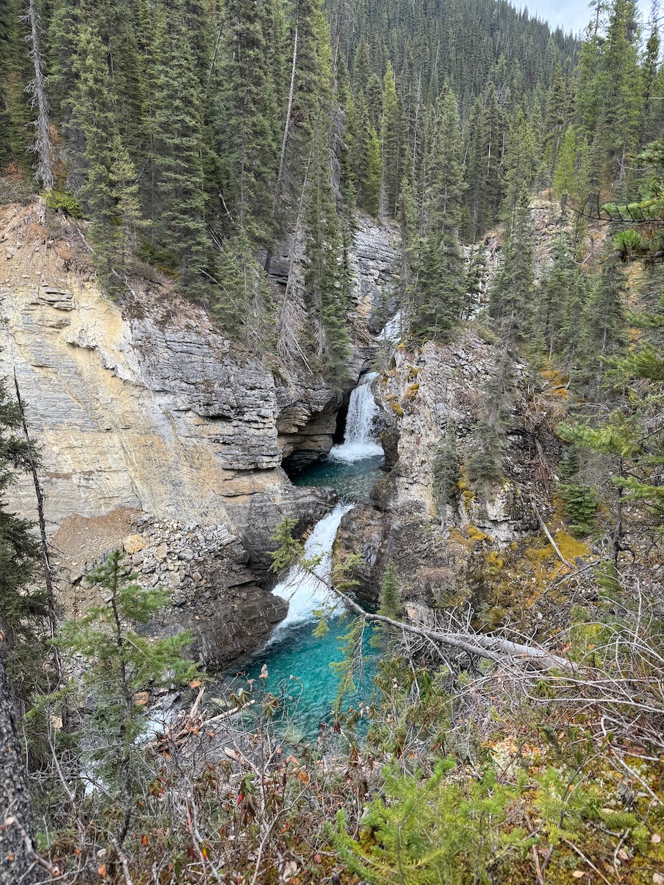
It took us about 2 hours to cover this 4km and were were on the trail maybe 40% of the time. For the final kilometer to Ottertail Falls the trail improved a little bit and we were able to follow that. The trail spits out at a junction with the Ottertail Falls trail about 40m away from where that trail rejoins the trail to Goodsir pass. This junction is very hard to spot but my map has the spot.
Overall, the trail is quite navigable for the first 75%. There is 4 km of slow going near the end which was fine for us because it was low water and we could walk the edge of the river and criss-cross. But in higher water a hiker would be forced to stay on the original side which does have some cut banks and bluffs that would be a hassle to scramble over (doable but harder).
Given the difficulty here, I suggest other hikers also attempt this late season when fording is easier, and start from the same end we did. Here’s the map again with the GPS: http://caltopo.com/m/0NLCV
One further note: We did this on Saturday, Oct 14, 2023, and it took 12 hours (8:30 am – 8:30 pm) to cover the 40 km from Paint Pots to the Ottertail trailhead by Field. Of that, the 19 km of old trail over Ottertail Pass took us 7.75 hrs (9:45 am to 5:30 pm) for an average of 2.5 km/hr with no notable breaks. We were happy to get through the old trail portion before dark.
All photos by Dan Durston
Wow, great to see this!! Was absentmindedly perusing for information about this area again and came across this. Super cool, very neat to see how good the condition was. May be worth a trip up to the meadows next summer!
I wouldn’t get too excited about the photos of superhighway trail and a mostly-intact campground. (I didn’t publish other photos showing decent trail.) More importantly, note Dan’s hiking speed of 2.5 km/h, which indicates a lot of trail-less thrashing. If I visited the pass and campground, I’d do it as a day hike from Helmet-Ochre Campground.